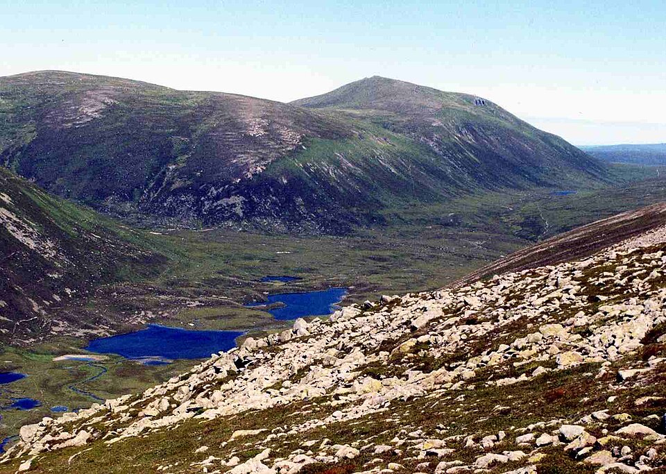
The most dangerous forecast in Scotland is the one for the nearest town. Fort William can be 16°C and pleasant while the summit of Ben Nevis, 1,300 metres above, sits at 2°C in 60mph gusts inside a cloud. Checking mountain weather — not valley weather — is the single most important planning habit a Munro bagger can build.
The forecasts that matter
MWIS (the Mountain Weather Information Service) publishes daily forecasts for the Scottish Highlands written specifically for walkers — wind at 900m, freezing level, cloud-free Munro percentage, and plain-English notes about how the day will feel. The Met Office mountain area forecasts cover similar ground with hourly detail. Both are free, and serious walkers read both, because where they disagree the truth is usually "uncertain — plan conservatively".
Summit-specific forecasts go a step further, modelling conditions for an individual peak's altitude and position. The Munros app shows a summit forecast for each of the 282 — temperature, wind and visibility at the actual summit height — plus a "best day this week" view across the hills, which turns the planning question around: rather than asking what will Saturday be like on my chosen hill, ask which hill has the best Saturday.
The numbers that should change your plans
- Wind 40mph+: walking becomes hard work; navigation on plateaux suffers. Gusts over 60mph can knock adults off their feet — save the ridges for another day.
- Cloud base below your summit: expect navigation-by-compass and no views. Fine if you want the practice; miserable if you wanted the photograph.
- Freezing level below 900m (Oct–May): assume snow and ice on the tops. Without ice axe, crampons and winter skills, choose lower hills.
- Heavy rain after dry spells: burns rise fast. A crossing that was ankle-deep on the way out can be impassable on the way back.
When to check
Three passes works well: a glance midweek to shortlist hills, a proper read the evening before to commit, and a final check at breakfast — Scottish forecasts genuinely change overnight. Recent reports from other walkers help too; community condition reports in the app flag things forecasts miss, like lingering snow patches on north-facing slopes in May.
And the golden rule: the forecast is information, not permission. If the hill is in cloud and the wind is rising, the summit will still be there next month.
Browse Related Hubs
Track your Munros
Log summits, get summit weather, and follow GPS routes for all 282 Munros. Free on the App Store.
Download the Free App