Maps are not optional on the Munros. Scottish mountain weather can erase visibility in minutes, many summits sit on featureless plateaux, and phone signal is absent across large parts of the Highlands. The good news: the mapping available to hillwalkers has never been better. The decisions are about which formats to combine.
Paper: OS Explorer vs Landranger
The Ordnance Survey remains the gold standard for British mountain cartography. OS Explorer (1:25,000) shows walls, crags and burns in detail — the scale most walkers prefer for navigation. OS Landranger (1:50,000) covers more ground per sheet, which suits long through-routes and planning. Either way, a paper map and compass (and the ability to use them) remain the safety baseline: they need no battery and work in any weather with a decent map case.
The drawback is coverage. The Munros sprawl across dozens of sheets, and buying Explorer maps for all 282 summits costs several hundred pounds. Most baggers buy sheets for their local patch and their next few targets.
Online Munro maps
For planning at home, online maps are unbeatable: you can see every Munro at once, check what clusters together, and work out which peaks combine into a single day. Our free interactive Munro map plots all 282 summits with heights and difficulty ratings — zoom in and the markers show names, then photos. It is the quickest way to answer the eternal question: what should I climb next weekend?
Offline maps on your phone
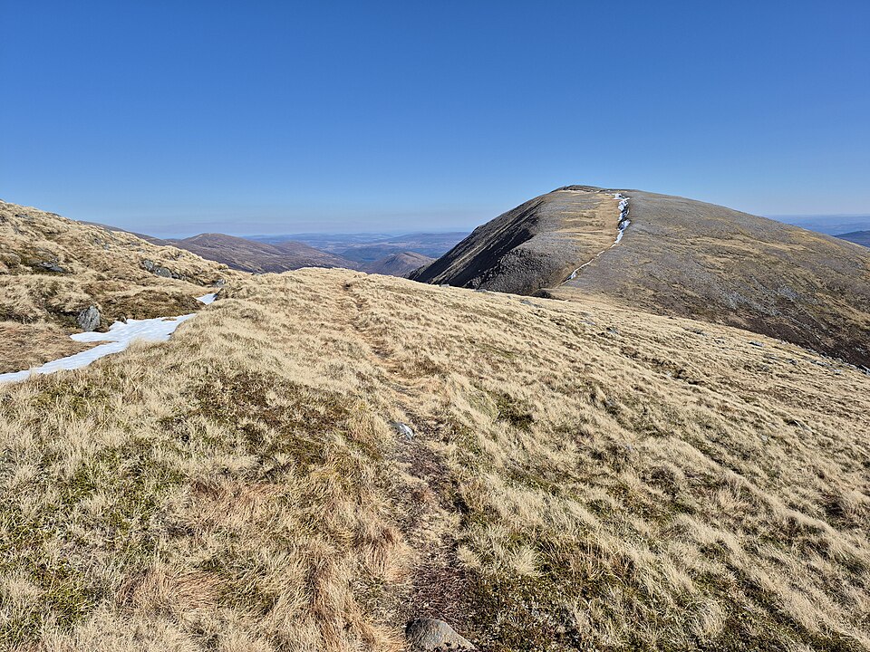
On the hill itself, a phone with offline mapping has become the practical navigation tool for most walkers — with the paper map as backup. The key word is offline: in Knoydart, the Fisherfield forest or much of the Cairngorms, there is simply no signal, and a map app that needs a connection is a blank grey grid precisely when you need it most.
The Munros app includes downloadable offline maps with the route line, parking location and summit marked for every peak, so navigation works in the remotest glens. Whatever app you use, download your area before leaving home — the car park is too late if there is no coverage.
The sensible setup
- Planning: an online map of all 282 to choose targets and spot combinations
- Navigation: offline phone mapping with your route loaded
- Backup: paper map and compass for the day the battery dies in the cold — and the skills to use them
Two kinds of map, every time. The walkers who get into trouble are rarely the ones who carried too much navigation.
Browse Related Hubs
Track your Munros
Log summits, get summit weather, and follow GPS routes for all 282 Munros. Free on the App Store.
Download the Free App