Home Features Explore Munros Munro Map Live Conditions Reviews Get the App
Bruach na Frìthe, Isle of Skye, Scotland

Bruach na Frìthe

“Slope of the Forest”

20kmRound trip
4.6–6hWalk time
Hard · 4/5Difficulty
Community summits
1Last 30 days
1Last 7 days
0Today
Live
Current conditions
22 Sept
BoggyUnderfoot
QuietBusyness
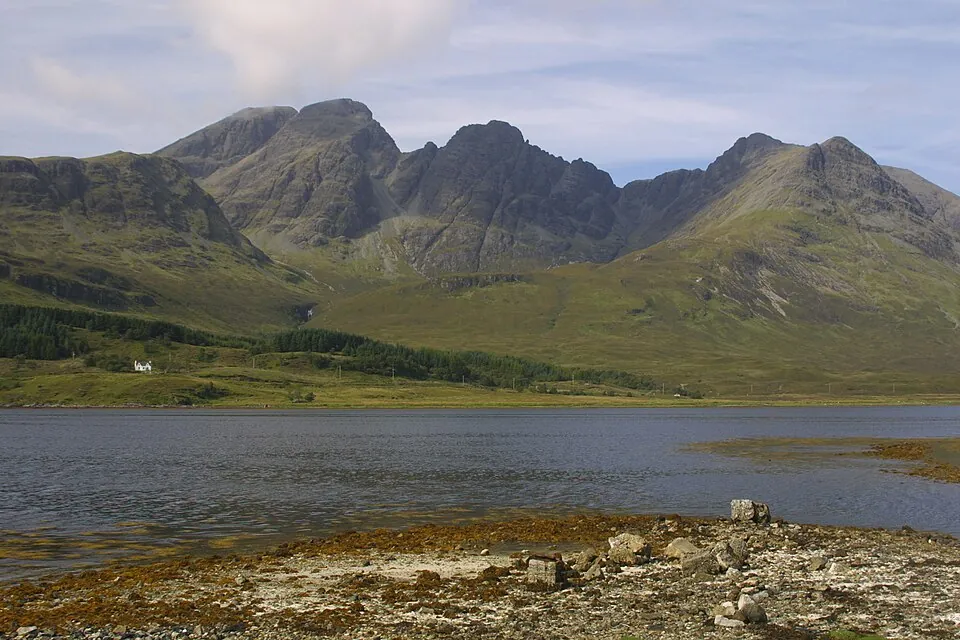
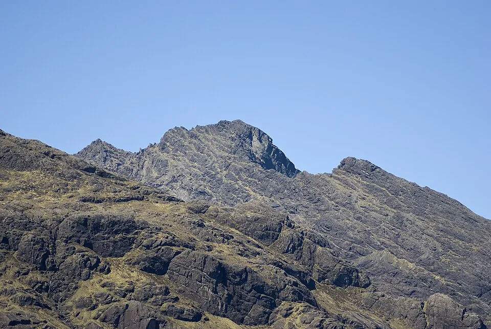
Photo: GeographBot · CC BY-SA 2.0
Overview

About this Munro

Bruach na Frìthe is a 958m Munro in the Isle of Skye region, its Gaelic name meaning “slope of the forest”. It stands 201st of the 282 Munros by height. The usual ascent — Bruach na Frìthe from Sligachan — is a 20km round trip taking 4.6–6 hours, rated hard (4/5).

Height rank201st of 282
Coordinates57.2470°N 6.2097°W
OS Grid RefNG 461 252
GPS routes in the appSummit location — full route lines, parking pins & offline maps in the free app.
Plan your day

Routes & Navigation

There is 1 route to the summit of Bruach na Frìthe, covering 20km.

Preview — full GPS track in the app

Bruach na Frìthe from Sligachan

4.6–6h round trip20km distance
1 summit logged in the last 30 days
In the free appExact parking pin · step-by-step directions · offline GPS trackGet the app
Summit forecasttemperature adjusted to 958m

Loading forecast…

Live from the hill

Community conditions

What walkers found up there recently — logged on the summit in the Munros app.

1 report1 report0 today
6 days agologged 5:37pmSummit logged
30 days ago7 days agotoday
Underfoot

No reports yet — be the first to log this

Visibility

No reports yet — be the first to log this

Busyness

No reports yet — be the first to log this

Access

No reports yet — be the first to log this

Parking

No reports yet — be the first to log this

Underfoot

None logged this week

Visibility

None logged this week

Busyness

None logged this week

Access

None logged this week

Parking

None logged this week

Munros+No reports yet today

The moment a walker logs this Munro today, Munros+ members see it live in the app.

Unlock with Munros+

Log yours in the app · All Munro conditions →

The full guide

Climbing Bruach na Frìthe

Bruach na Frìthe stands as the most accessible of the major Cuillin peaks, yet the 20km route from Sligachan still…

Bruach na Frìthe stands as the most accessible of the major Cuillin peaks, yet the 20km route from Sligachan still presents serious challenges with its 4/5 difficulty rating. You'll invest 5-6 hours covering substantial distance across demanding terrain, with the mountain requiring sustained effort despite being one of the 'easier' Skye Munros.

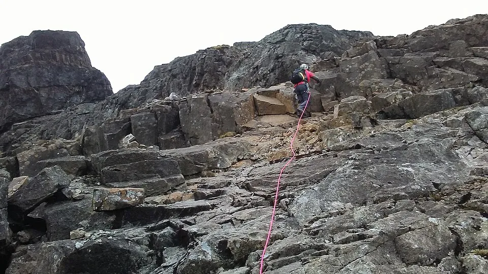
The ascent from Sligachan follows rough paths across moorland before steepening onto Bruach na Frìthe's rocky flanks. The generally dry underfoot conditions noted in the 2/5 bog rating are welcome, as the upper sections involve scrambling on Skye's characteristic gabbro rock. While less technical than the main Cuillin ridge, Bruach na Frìthe still demands hands-on rock work in places, with exposure requiring confidence and a head for heights as you approach the 958m summit.

Best Time to Climb Bruach na Frìthe

The 5-6 hour route makes Bruach na Frìthe suitable for the extended daylight of May through September, when you have…

The 5-6 hour route makes Bruach na Frìthe suitable for the extended daylight of May through September, when you have adequate time for the technical sections and potential route-finding challenges. Even the relatively accessible nature of this Cuillin peak requires an early start to allow margin for the unexpected.

Skye's maritime climate means rapid weather changes are the norm, and Bruach na Frìthe's position makes it vulnerable to Atlantic weather systems. The mountain can be cloud-shrouded even when Sligachan enjoys sunshine, and the rock becomes significantly more challenging when wet. Summer offers the most settled weather windows, though you should always be prepared for rain.

Winter ascents of Bruach na Frìthe are serious undertakings requiring winter mountaineering skills, as the scrambling sections become technical climbing when iced.

Getting to Bruach na Frìthe

Bruach na Frìthe is accessed from Sligachan Old Bridge Car Park, one of Skye's most iconic mountain starting points. The…

Bruach na Frìthe is accessed from Sligachan Old Bridge Car Park, one of Skye's most iconic mountain starting points. The car park sits beside the famous Sligachan Hotel at the junction of the A87 and A863, making it easily accessible from both Portree and the Skye Bridge.

Parking can be challenging during summer as Sligachan serves multiple popular Cuillin routes—arrive early to secure a space. The location is well-served with the hotel offering refreshments, accommodation, and a famous climbers' bar for post-mountain relaxation. The roads are good quality and accessible year-round, though you should check conditions during winter. Sligachan's position makes it an ideal base for exploring Skye's mountains.

Know the mountain

Bruach na Frìthe Summit

The summit of Bruach na Frìthe at 958m is a rocky, dramatic peak that epitomizes the Cuillin character, albeit in…

The summit of Bruach na Frìthe at 958m is a rocky, dramatic peak that epitomizes the Cuillin character, albeit in slightly gentler form than the ridge's most fearsome sections. You'll find a cairn marking the highest point on a relatively small summit area with considerable exposure on multiple sides.

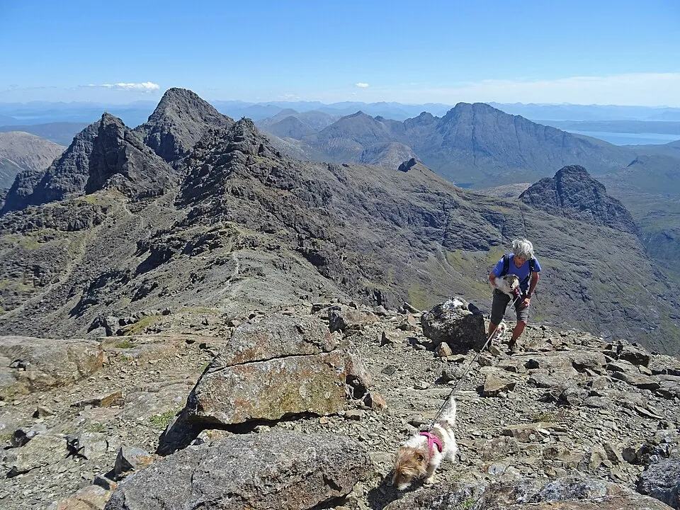
Shelter is limited on the summit of Bruach na Frìthe, with winds often sweeping across this elevated position. The views are spectacular on clear days—across the main Cuillin ridge with its dramatic rock architecture, out to the Outer Hebrides, and across Skye's diverse landscape. The summit's rocky, alpine character gives a real sense of achievement, and you'll understand why the Cuillin are considered Scotland's finest mountains.

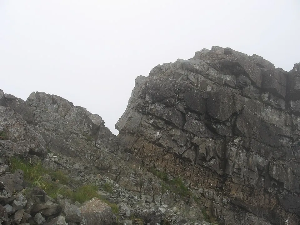
The gabbro rock, rough and grippy when dry, provides excellent scrambling on the summit rocks.

Wildlife on Bruach na Frìthe

The approach to Bruach na Frìthe across moorland from Sligachan showcases Skye's lush, wet, maritime environment. The…

The approach to Bruach na Frìthe across moorland from Sligachan showcases Skye's lush, wet, maritime environment. The lower slopes are carpeted with sphagnum mosses, heather, and bog cotton, creating a colorful landscape particularly striking in late summer when the heather blooms purple.

As you climb Bruach na Frìthe's rocky slopes, vegetation becomes sparser, confined to sheltered crevices and ledges. Alpine plants including saxifrages and mountain sorrel cling to the gabbro, adapted to the harsh conditions. Red deer frequent the lower slopes and corries, while ravens are common around the crags, their calls echoing off the rock faces. At higher elevations, you might encounter ring ouzels in summer.

The Cuillin support golden eagles, and these magnificent birds sometimes soar on the updrafts around Bruach na Frìthe, hunting for mountain hares and ptarmigan.
Bruach na Frìthe Tips

The 4/5 difficulty rating reflects the serious nature of Bruach na Frìthe despite it being one of the more accessible…

The 4/5 difficulty rating reflects the serious nature of Bruach na Frìthe despite it being one of the more accessible Cuillin peaks. You need scrambling confidence and experience on exposed terrain, and the route becomes significantly more serious in wet or windy conditions when the rock is slippery. Strong navigation skills are essential, particularly for the descent route which can be tricky to find in mist.

The relatively long 20km distance means pacing yourself is important—don't exhaust yourself on the approach and have nothing left for the technical sections. Carry adequate water and high-energy food. The weather on Skye can change within minutes, so full waterproofs and warm layers are essential. The gabbro rock is magnetic and can affect compass readings, so be aware of this when navigating. Mobile signal is unreliable.

Inform someone of your plans—the serious terrain means self-rescue may not be possible if things go wrong.

Good to know

Frequently Asked Questions

Common questions about climbing Bruach na Frìthe.

How tall is Bruach na Frìthe?

Bruach na Frìthe stands at 958 metres (3,143 feet), making it the 201st tallest of all 282 Munros in Scotland.

What does Bruach na Frìthe mean in Gaelic?

The name Bruach na Frìthe translates from Scottish Gaelic as “Slope of the Forest”.

How long does it take to climb Bruach na Frìthe?

Climbing Bruach na Frìthe typically takes between 4.6 and 6 hours round trip. This varies with fitness, weather, and the route chosen.

Where do I park for Bruach na Frìthe?

There is dedicated parking at the standard starting point for the main route up Bruach na Frìthe, in the Isle of Skye area. The exact car park location, map pin and arrival guidance are in the free Munros app.

How difficult is Bruach na Frìthe to climb?

Bruach na Frìthe is rated Hard (difficulty 4/5). In practice that means long, steep, rough ground where confident footwork and navigation matter.

What is the best route up Bruach na Frìthe?

The most popular route up Bruach na Frìthe covers 20km, 4.6–6 hours round trip.

Is Bruach na Frìthe good for beginners?

No — Bruach na Frìthe (difficulty 4/5 at 958m) is best suited to experienced hillwalkers in the Isle of Skye area. Expect sustained steep terrain and the need for confident navigation in poor visibility.

What region is Bruach na Frìthe in?

Bruach na Frìthe is in the Isle of Skye region of Scotland. Nearby Munros include Am Basteir, Blà Bheinn, Inaccessible Pinnacle.

Start your journey

Ready to bag
them all?

Track all 282 Munros, plan routes, and log every summit. Join 2,400+ hillwalkers already using Munros.app.

Download for iPhone Free on the App Store