Home Features Explore Munros Munro Map Live Conditions Reviews Get the App
An Gearanach, Fort William, Scotland

An Gearanach

“The Complainer”

12.4kmRound trip
6.7–8.7hWalk time
Very Hard · 5/5Difficulty
Community summits
2Last 30 days
1Last 7 days
0Today
Live
Current conditions
16 Oct
WetUnderfoot
OpenAccess
QuietBusyness
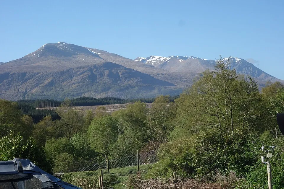
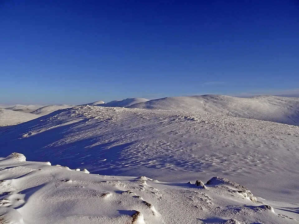
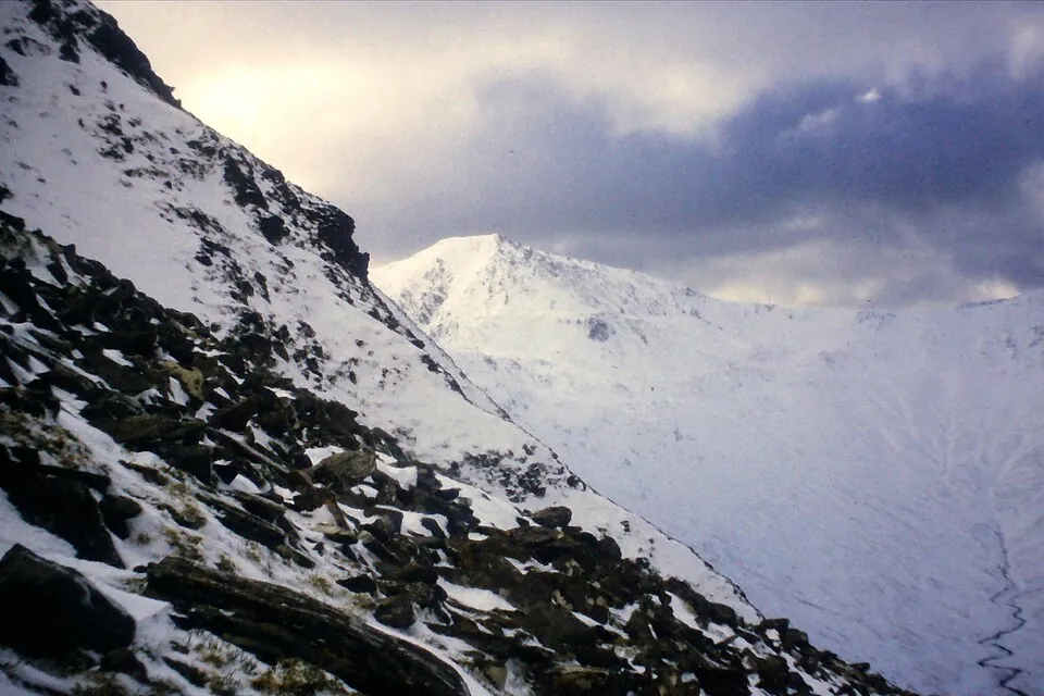
Photo: GeographBot · CC BY-SA 2.0
Overview

About this Munro

An Gearanach is a 982m Munro in the Fort William region, its Gaelic name meaning “the complainer”. It stands 170th of the 282 Munros by height. The usual ascent — Ring of Steall — is a 12.4km round trip taking 6.7–8.7 hours, rated very hard (5/5).

Height rank170th of 282
Coordinates56.7594°N 4.9650°W
OS Grid RefNN 188 670
GPS routes in the appSummit location — full route lines, parking pins & offline maps in the free app.
Plan your day

Routes & Navigation

There is 1 route to the summit of An Gearanach, covering 12.4km.

Preview — full GPS track in the app

Ring of Steall

Bags 3 MunrosAm BodachAn GearanachSgùrr a' Mhàim
6.7–8.7h round trip12.4km distance
2 summits logged in the last 30 days
In the free appExact parking pin · step-by-step directions · offline GPS trackGet the app
Summit forecasttemperature adjusted to 982m

Loading forecast…

Live from the hill

Community conditions

What walkers found up there recently — logged on the summit in the Munros app.

2 reports1 report0 today
6 days agologged 5:49pmSummit logged
7+ days ago · typical from 1 report
Wet underfoot Access open Easy parking Fair visibility Quiet hill
30 days ago7 days agotoday
Underfoot
Wet ×1
Visibility
Fair ×1
Busyness
Quiet ×1
Access
Open ×1
Parking
Quiet ×1
Underfoot

None logged this week

Visibility

None logged this week

Busyness

None logged this week

Access

None logged this week

Parking

None logged this week

Munros+No reports yet today

The moment a walker logs this Munro today, Munros+ members see it live in the app.

Unlock with Munros+

Log yours in the app · All Munro conditions →

The full guide

Climbing An Gearanach

An Gearanach forms a crucial link in the legendary Ring of Steall, one of Scotland's finest ridge walks. At 982 metres,…

An Gearanach forms a crucial link in the legendary Ring of Steall, one of Scotland's finest ridge walks. At 982 metres, the mountain sits midway along this spectacular horseshoe route that starts from Glen Nevis Car Park. The terrain is dramatically different from many Munros—An Gearanach's approaches are relatively dry underfoot with a bog level of just 2/5, but the technical difficulty is rated 5/5, reflecting the seriousness and exposure of the ridge.

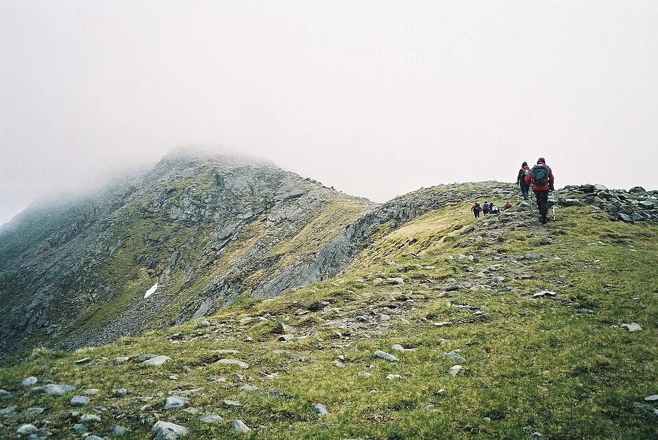
The ascent involves sustained steep ground and, in places, scrambling sections that demand confidence and a good head for heights. The Ring of Steall covering An Gearanach spans 12.4 kilometres but requires 6.7-8.7 hours due to the technical terrain. This is a serious mountain day that reveals why An Gearanach's name means 'The Complainer'—the mountain tests your nerve and technical skills throughout.

Best Time to Climb An Gearanach

An Gearanach is a summer mountain for most walkers, when dry rock conditions and long daylight hours make the exposed…

An Gearanach is a summer mountain for most walkers, when dry rock conditions and long daylight hours make the exposed Ring of Steall ridge safest to navigate. June through September offers the best combination of weather and daylight, though the Fort William area receives heavy rainfall year-round, and wet rock significantly increases the difficulty of scrambling sections.

Early autumn can provide excellent conditions with stable weather and fewer midges, but be prepared for rapidly shortening days as October approaches. Winter ascents of An Gearanach demand full winter mountaineering skills including ice axe and crampon competence—the ridge becomes a serious Grade I/II winter climb. Cloud and wind can make the exposed sections extremely challenging regardless of season.

Always check detailed weather forecasts, and be prepared to postpone if conditions are marginal; the consequences of a slip on An Gearanach are severe.

Getting to An Gearanach

Access to An Gearanach begins at the Glen Nevis Car Park, located at the end of the Glen Nevis road approximately 10…

Access to An Gearanach begins at the Glen Nevis Car Park, located at the end of the Glen Nevis road approximately 10 kilometres east of Fort William. This is one of Scotland's most popular mountain access points, serving both the Ring of Steall and routes up Ben Nevis, so expect the large car park to fill early during summer and at weekends.

The Glen Nevis road is narrow and winding but well-maintained. During peak season, arrive before 8am to secure parking, or consider using the overflow areas and walking the extra distance. Fort William provides all facilities for provisioning and accommodation, making this an accessible base for tackling An Gearanach. The approach walk through Glen Nevis to the start of the Ring of Steall is itself spectacular, crossing the famous wire bridge over the River Nevis.

Know the mountain

An Gearanach Summit

The summit of An Gearanach at 982 metres sits prominently along the Ring of Steall ridge, offering breathtaking views…

The summit of An Gearanach at 982 metres sits prominently along the Ring of Steall ridge, offering breathtaking views across the Mamores and towards Ben Nevis. The top is marked by a cairn perched on the narrow ridge, and the exposure is immediately apparent—steep ground falls away on both sides. This is a summit to appreciate in good weather when you can safely take in the spectacular position.

Shelter is virtually non-existent on An Gearanach's airy summit, and the mountain is exposed to winds funneling through Glen Nevis. On clear days, the 360-degree panorama is one of the finest in Scotland, but cloud can descend with alarming speed, making navigation along the narrow ridge extremely serious. The rocky summit provides good footing in dry conditions, but takes care near the edges—the exposure is real, not imagined.

Wildlife on An Gearanach

The Glen Nevis approaches to An Gearanach pass through rich woodland habitats before emerging onto open hillsides clad…

The Glen Nevis approaches to An Gearanach pass through rich woodland habitats before emerging onto open hillsides clad in heather and bilberry. The relatively dry terrain supports different plant communities than wetter western mountains, with more lichen growth on the abundant rocky outcrops. Red deer are commonly seen, particularly in early mornings, and the area supports pine martens in the lower forested sections.

As you climb towards An Gearanach's 982-metre summit, you enter classic montane heath dominated by dwarf shrubs adapted to wind and cold. The rocky ridge itself supports only the hardiest alpine plants, with cushion-forming species finding footholds in sheltered cracks. Ravens are frequent companions on An Gearanach, their croaking calls echoing off the crags.

The Fort William area's high rainfall means abundant moss growth on north-facing rocks, but the well-drained ridge terrain of An Gearanach remains relatively dry underfoot—a blessing on this technical route.

An Gearanach Tips

The 5/5 difficulty rating for An Gearanach and the Ring of Steall is Scotland's highest and must be taken seriously.…

The 5/5 difficulty rating for An Gearanach and the Ring of Steall is Scotland's highest and must be taken seriously. This is a route requiring scrambling skills, exposure tolerance, and absolute confidence in your abilities. In wet or windy conditions, the difficulty increases substantially—know when to turn back. Navigation along the ridge requires care even in good visibility, and in cloud becomes a serious undertaking demanding precise compass work.

Despite the relatively dry terrain, carry full waterproofs and warm layers—weather in the Fort William area changes rapidly. A climbing helmet is advisable given the scrambling sections and potential rockfall. The technical nature means you cannot rush; allow the full 6.7-8.7 hours even if you're fit. Phone signal is patchy at best, so carry backup navigation.

An Gearanach is not a mountain for novices—ensure you have the skills and experience before committing to this spectacular but serious route.

Good to know

Frequently Asked Questions

Common questions about climbing An Gearanach.

How tall is An Gearanach?

An Gearanach stands at 982 metres (3,222 feet), making it the 170th tallest of all 282 Munros in Scotland.

What does An Gearanach mean in Gaelic?

The name An Gearanach translates from Scottish Gaelic as “The Complainer”.

How long does it take to climb An Gearanach?

Climbing An Gearanach typically takes between 6.7 and 8.7 hours round trip. This varies with fitness, weather, and the route chosen.

Where do I park for An Gearanach?

There is dedicated parking at the standard starting point for the main route up An Gearanach, in the Fort William area. The exact car park location, map pin and arrival guidance are in the free Munros app.

How difficult is An Gearanach to climb?

An Gearanach is rated Very Hard (difficulty 5/5). In practice that means sustained scrambling with serious exposure — mountaineering rather than hillwalking.

What is the best route up An Gearanach?

The most popular route up An Gearanach covers 12.4km, 6.7–8.7 hours round trip.

Is An Gearanach good for beginners?

No — An Gearanach (difficulty 5/5 at 982m in the Fort William area) is one of Scotland's most demanding Munros, requiring experience on exposed and technical mountain terrain. Build up on easier hills first.

What region is An Gearanach in?

An Gearanach is in the Fort William region of Scotland. Nearby Munros include Am Bodach, Aonach Mòr, Beinn a' Chaorainn (Glen Spean).

Start your journey

Ready to bag
them all?

Track all 282 Munros, plan routes, and log every summit. Join 2,400+ hillwalkers already using Munros.app.

Download for iPhone Free on the App Store