Home Features Explore Munros Munro Map Live Conditions Reviews Get the App
Beinn Liath Mhòr, Torridon, Scotland

Beinn Liath Mhòr

926m Torridon

“Big Grey Mountain”

17.9kmRound trip
5.2–6.8hWalk time
Hard · 4/5Difficulty
Community summits
Last summit logged 9 Sept — log yours free in the appLive
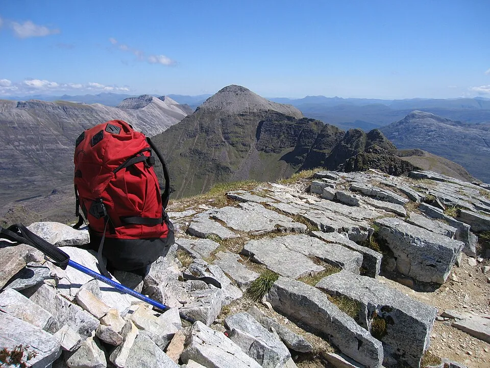
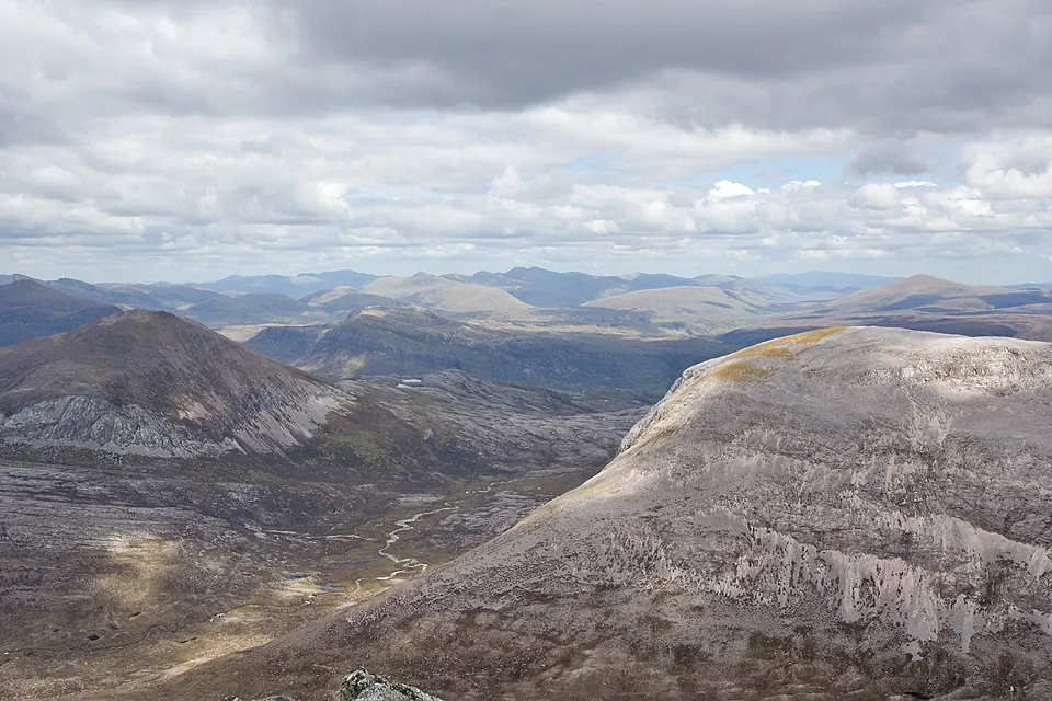
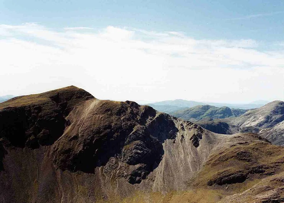
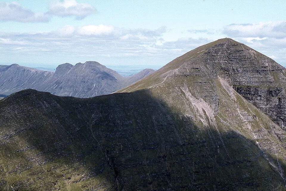
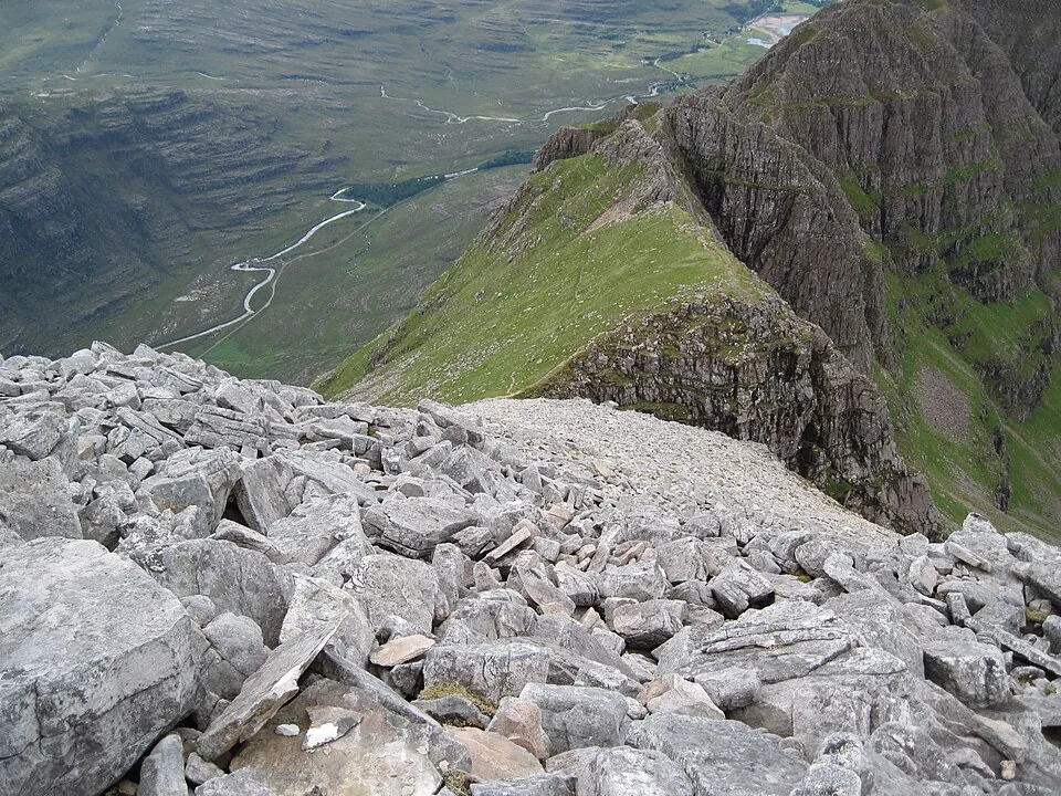
Photo: GeographBot · CC BY-SA 2.0
Overview

About this Munro

Beinn Liath Mhòr is a 926m Munro in the Torridon region, its Gaelic name meaning “big grey mountain”. It stands 259th of the 282 Munros by height. The usual ascent — Beinn Liath Mhòr and Sgùrr Ruadh from A896 — is a 17.9km round trip taking 5.2–6.8 hours, rated hard (4/5).

Height rank259th of 282
RegionTorridon
Coordinates57.5124°N 5.3994°W
OS Grid RefNG 964 520
GPS routes in the appSummit location — full route lines, parking pins & offline maps in the free app.
Plan your day

Routes & Navigation

There are 2 routes to the summit of Beinn Liath Mhòr, ranging from 15.2km.

Preview — full GPS track in the app

Beinn Liath Mhòr and Sgùrr Ruadh from A896

5.2–6.8h round trip17.9km distance
In the free appExact parking pin · step-by-step directions · offline GPS trackGet the app
Preview — full GPS track in the app

Beinn Liath Mhòr and Sgòrr Ruadh from A896

Bags 2 MunrosBeinn Liath MhòrSgòrr Ruadh
5.3–6.9h round trip15.2km distance
In the free appExact parking pin · step-by-step directions · offline GPS trackGet the app
Summit forecasttemperature adjusted to 926m

Loading forecast…

Live from the hill

Community conditions

What walkers found up there recently — logged on the summit in the Munros app.

0 reports0 reports0 today
Underfoot

No reports yet — be the first to log this

Visibility

No reports yet — be the first to log this

Busyness

No reports yet — be the first to log this

Access

No reports yet — be the first to log this

Parking

No reports yet — be the first to log this

Underfoot

None logged this week

Visibility

None logged this week

Busyness

None logged this week

Access

None logged this week

Parking

None logged this week

Munros+No reports yet today

The moment a walker logs this Munro today, Munros+ members see it live in the app.

Unlock with Munros+

Log yours in the app · All Munro conditions →

The full guide

Climbing Beinn Liath Mhòr

Beinn Liath Mhòr, the 'Big Grey Mountain', rises to 926 metres in Torridon country, offering an ascent that combines the…

Beinn Liath Mhòr, the 'Big Grey Mountain', rises to 926 metres in Torridon country, offering an ascent that combines the region's characteristic rugged beauty with demanding terrain. From Achnashellach or Achnashellach Station, you'll tackle a route that covers 15-18 kilometres depending on your chosen approach.

The climb features relatively dry ground for this region at bog level 2/5, making it more pleasant underfoot than many neighbouring peaks, though the 4/5 difficulty rating reflects the sustained nature of the ascent and technical terrain.

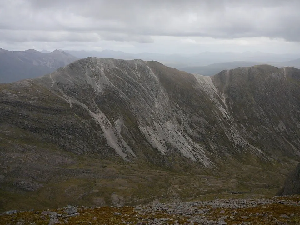
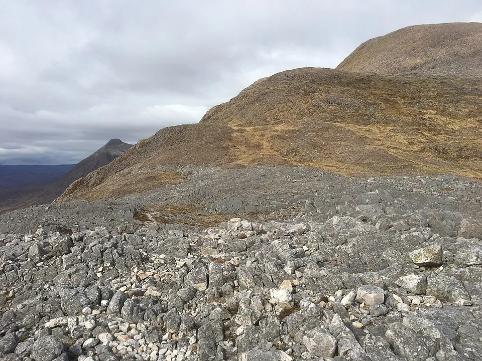
The path quality on Beinn Liath Mhòr varies from established tracks through the initial forestry and glen to much rougher, stonier ground as you gain height onto the mountain proper. The terrain becomes increasingly rocky with exposure in places, demanding sure-footing and a head for heights.

The route requires 5-7 hours, moving through diverse Highland landscapes from woodland to open hillside before the final push to the grey quartzite summit that gives this mountain its name.
Best Time to Climb Beinn Liath Mhòr

The Torridon region receives substantial rainfall throughout the year, but Beinn Liath Mhòr is best climbed from late…

The Torridon region receives substantial rainfall throughout the year, but Beinn Liath Mhòr is best climbed from late spring through early autumn when conditions are most stable and daylight hours generous. Summer months offer the longest days and warmest temperatures, though midges can be intense in still conditions at lower elevations. The relatively short 5-7 hour timeframe means this mountain is more feasible in shoulder seasons than longer routes.

Winter climbing on Beinn Liath Mhòr requires full winter mountaineering skills, with snow and ice transforming the rocky terrain into serious technical ground. The west coast location means weather systems arrive with little warning, and conditions can deteriorate rapidly at any time of year. Always check detailed forecasts before attempting Beinn Liath Mhòr, and be prepared for the reality that conditions on the summit may be very different from those in the glen below.

Getting to Beinn Liath Mhòr

Beinn Liath Mhòr is accessed from parking at Achnashellach or Achnashellach Station, both located on the A896 in Wester…

Beinn Liath Mhòr is accessed from parking at Achnashellach or Achnashellach Station, both located on the A896 in Wester Ross. The station provides convenient access for those using the scenic Kyle Line railway, making this one of the more accessible Torridon peaks for car-free travel. The car parks serve multiple routes into the surrounding mountains and can be busy during peak season, so early arrival is advisable.

The location is remote by lowland standards, approximately 60 miles from Inverness via the A832 and A890, passing through spectacular Highland scenery. Facilities are minimal, with the nearest services in villages further along the route. From the parking areas, clear paths lead into the estate before you begin the serious climbing towards Beinn Liath Mhòr.

Mobile phone signal is limited and should not be relied upon for navigation or emergency communication once you leave the roadside.

Know the mountain

Beinn Liath Mhòr Summit

The summit of Beinn Liath Mhòr at 926 metres is marked by a cairn amid characteristic quartzite scree and boulders that…

The summit of Beinn Liath Mhòr at 926 metres is marked by a cairn amid characteristic quartzite scree and boulders that give the mountain its grey appearance. The top provides a commanding viewpoint across Torridon's dramatic landscape, with the famous peaks of the region visible on clear days. Shelter is limited, with the exposed rocky summit leaving you vulnerable to the strong winds that frequently sweep across these western mountains.

The summit terrain of Beinn Liath Mhòr is rocky and broken, requiring care when moving around, particularly in wet or icy conditions when the quartzite becomes treacherous. In cloud, the top can be confusing with several false summits and the broad ridge requiring careful navigation.

The feeling of remoteness is strong despite the relatively short approach, with wild country extending in all directions and the west coast weather systems often providing dramatic cloudscapes and rapidly changing conditions around the grey peak.

Wildlife on Beinn Liath Mhòr

The western location of Beinn Liath Mhòr in Torridon means lush, moisture-loving vegetation on lower slopes, with…

The western location of Beinn Liath Mhòr in Torridon means lush, moisture-loving vegetation on lower slopes, with remnant native woodland giving way to heather moorland and grassland as you climb. The high rainfall supports rich plant communities where drainage is good, with ferns, mosses, and Atlantic bryophytes flourishing in the humid climate. Red deer are abundant throughout this landscape, often encountered on the mountain flanks.

Higher on Beinn Liath Mhòr, the vegetation becomes sparser, transitioning to montane heath communities before the rocky summit area where only the hardiest mosses and lichens survive. The bog level 2/5 rating means relatively dry going for western Scotland, though wet flushes still support diverse wetland plants. Golden eagles hunt across this territory, and you may spot ravens, buzzards, or peregrine falcons.

Mountain hares and ptarmigan inhabit the higher slopes, while ring ouzels might be encountered on the crags during summer months.

Beinn Liath Mhòr Tips

The 4/5 difficulty rating for Beinn Liath Mhòr demands respect, with full hillwalking equipment and navigation skills…

The 4/5 difficulty rating for Beinn Liath Mhòr demands respect, with full hillwalking equipment and navigation skills essential. Carry map and compass, and practice using them before attempting this peak, as cloud can descend rapidly and the rocky terrain becomes confusing in poor visibility. The quartzite scree and boulders require careful footwork, so sturdy boots with good ankle support are crucial for tackling this mountain safely.

Water sources are generally available on the approach through the glen, but carry sufficient supplies for the 5-7 hour route. Despite the lower bog level rating, waterproof boots remain essential as the west coast climate means rain is always possible. Phone signal is unreliable, so don't depend on mobile devices for navigation or emergency communication on Beinn Liath Mhòr. Pack full emergency equipment including shelter, extra layers, food, and first aid supplies.

The weather can change dramatically, so be prepared to turn back if conditions deteriorate, particularly if cloud descends and obscures the rocky terrain above.

Good to know

Frequently Asked Questions

Common questions about climbing Beinn Liath Mhòr.

How tall is Beinn Liath Mhòr?

Beinn Liath Mhòr stands at 926 metres (3,038 feet), making it the 259th tallest of all 282 Munros in Scotland.

What does Beinn Liath Mhòr mean in Gaelic?

The name Beinn Liath Mhòr translates from Scottish Gaelic as “Big Grey Mountain”.

How long does it take to climb Beinn Liath Mhòr?

Climbing Beinn Liath Mhòr typically takes between 5.2 and 6.9 hours round trip. This varies with fitness, weather, and the route chosen — there are 2 routes to the summit.

Where do I park for Beinn Liath Mhòr?

There is dedicated parking at the standard starting point for the main route up Beinn Liath Mhòr, in the Torridon area. The exact car park location, map pin and arrival guidance are in the free Munros app.

How difficult is Beinn Liath Mhòr to climb?

Beinn Liath Mhòr is rated Hard (difficulty 4/5). All 2 routes share this grade. In practice that means long, steep, rough ground where confident footwork and navigation matter.

What is the best route up Beinn Liath Mhòr?

The most popular route up Beinn Liath Mhòr covers 15.2km, 5.3–6.9 hours round trip. There are 2 routes to the summit in total, ranging from Hard to Hard difficulty.

Is Beinn Liath Mhòr good for beginners?

No — Beinn Liath Mhòr (difficulty 4/5 at 926m) is best suited to experienced hillwalkers in the Torridon area. Expect sustained steep terrain and the need for confident navigation in poor visibility.

What region is Beinn Liath Mhòr in?

Beinn Liath Mhòr is in the Torridon region of Scotland. Nearby Munros include Maol Chean-dearg, Mullach an Rathain (Liathach), Ruadh-stac Mòr (Beinn Eighe).

Start your journey

Ready to bag
them all?

Track all 282 Munros, plan routes, and log every summit. Join 2,400+ hillwalkers already using Munros.app.

Download for iPhone Free on the App Store